A PDF version is available here.
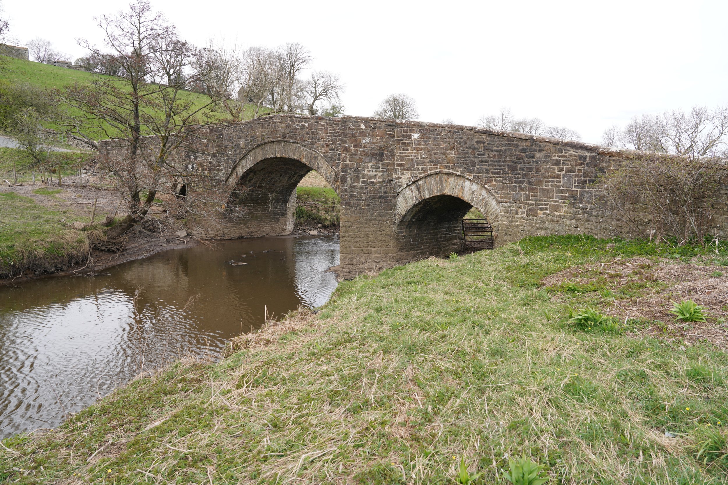
A pretty, workaday bridge carries Stake Road over the river Bain where it flows into Semer Water (Google maps).
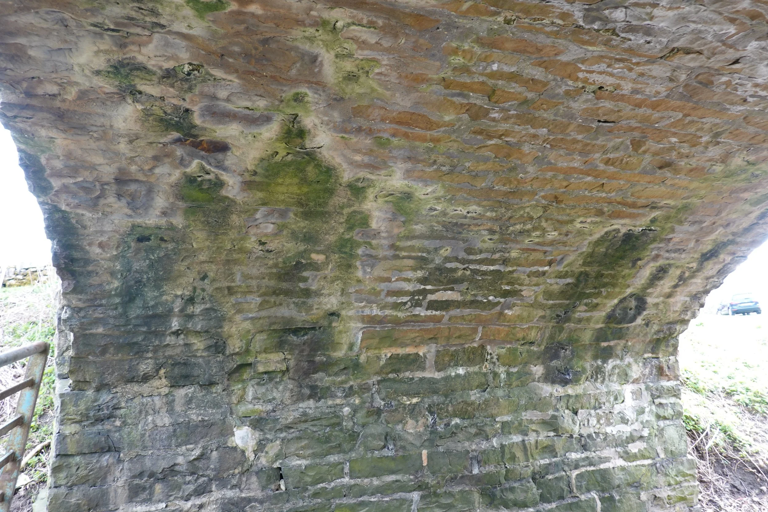
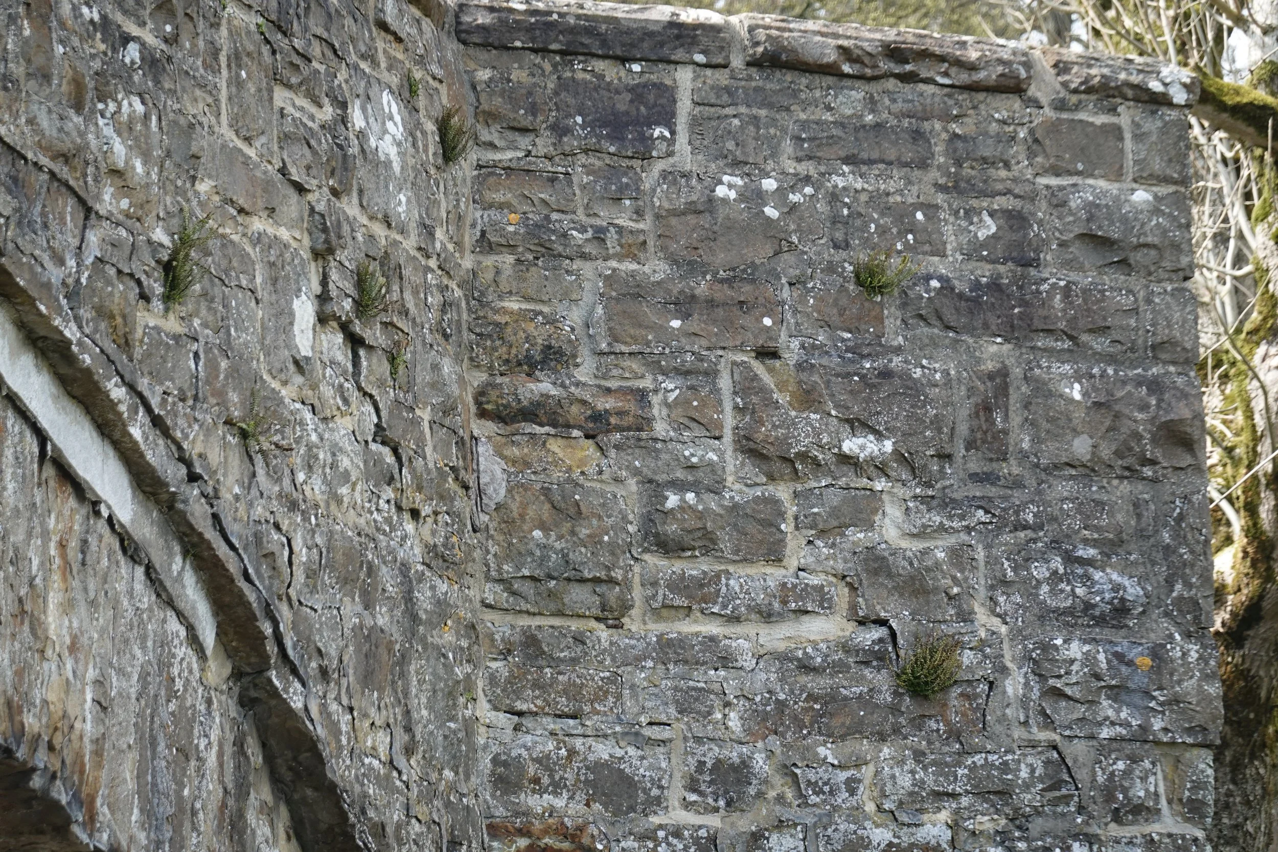
The expressed arch rings look chunky. We can’t tell whether that thickness goes all the way through the width, but there is no obvious change in masonry visible on the soffit.
It’s difficult to make much more of the soffit because it has been horribly pointed in cement mortar.
The pointing is breaking down in places – it’s difficult to tell, but cracks away from the mortar joints suggest there may be some slight movement in this area.
The older mortar exposed where the cement has flaked off is very brown. An earth or earth-lime mortar?
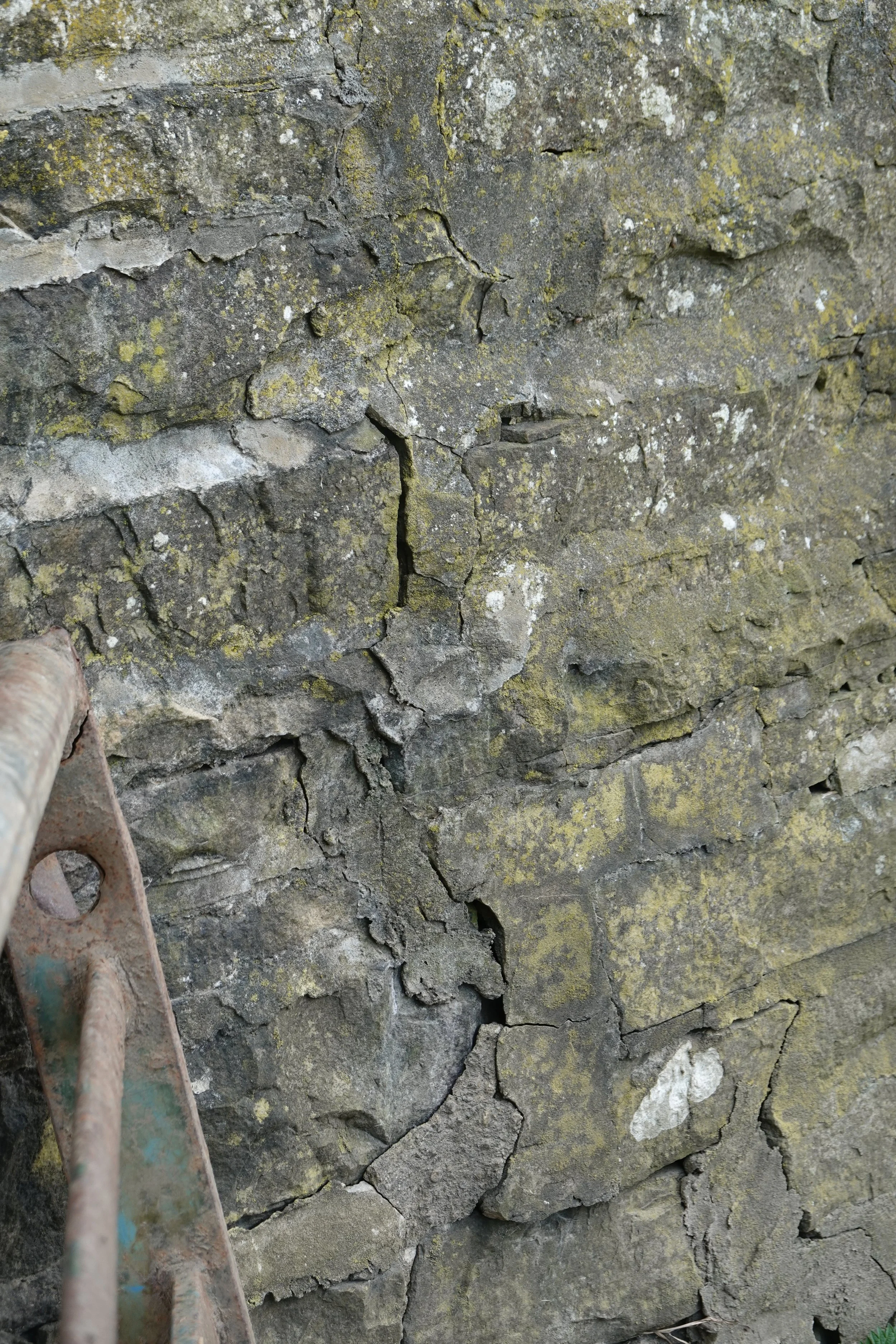
The cement mortar elsewhere highlights small movements, but gives no hint as to cause (below). None of this would be visible in more sympathetic mortar.
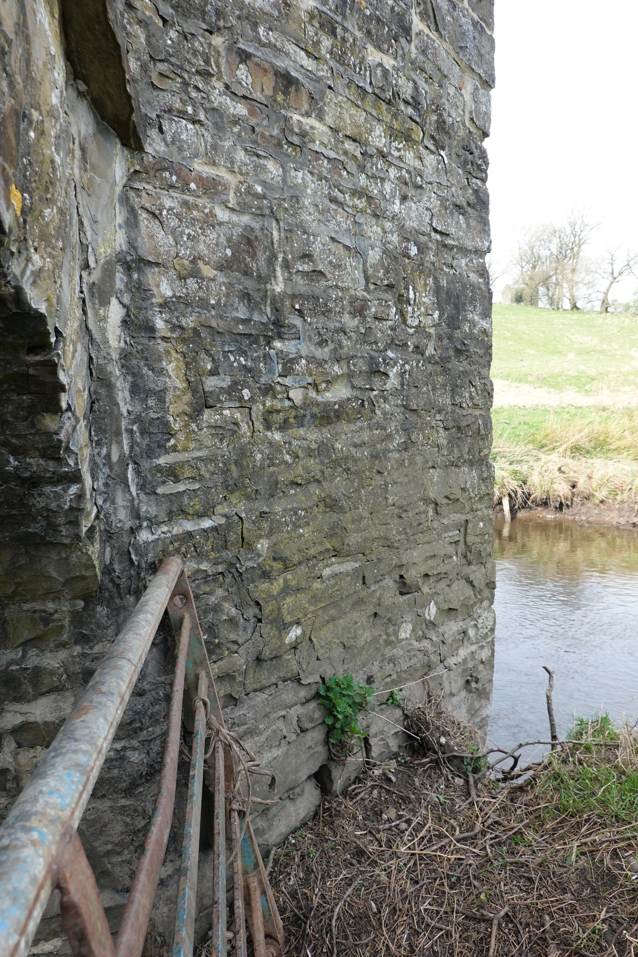
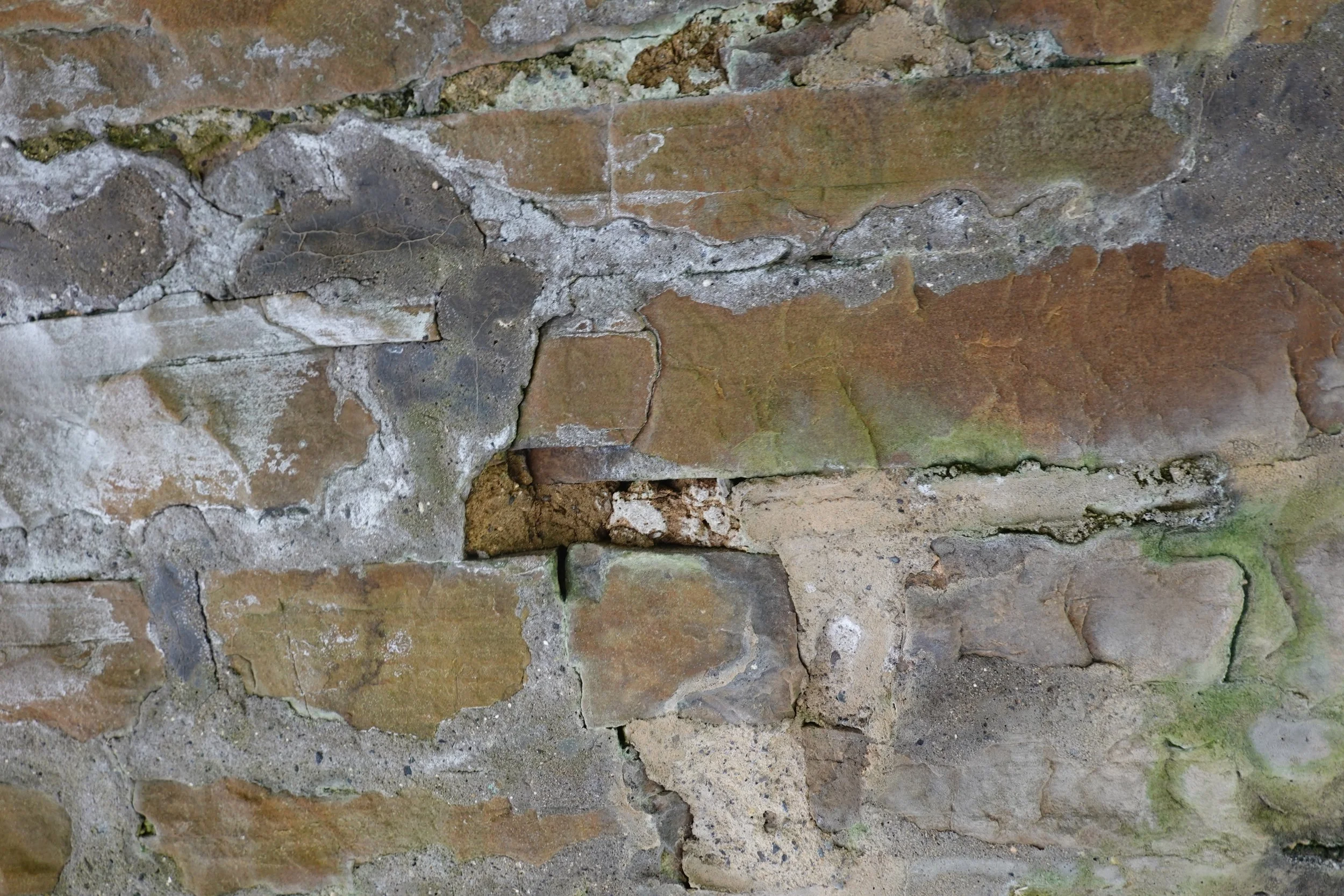
The bridge has cutwaters to both faces. The upriver south cutwater (left) sports a clear crack at low level near the main bridge elevation. The mortar patching (detail below) suggests that this isn’t new, but it is still moving or has moved again since last pointing.
I noted cracks a bit like this at Leckwith Old Bridge – there as at Bidford on Avon clearly a result of vehicle impact above. This particular crack is surprisingly located for that to be the cause. Is the push here coming from the spandrel wall, perhaps from frost jacking?
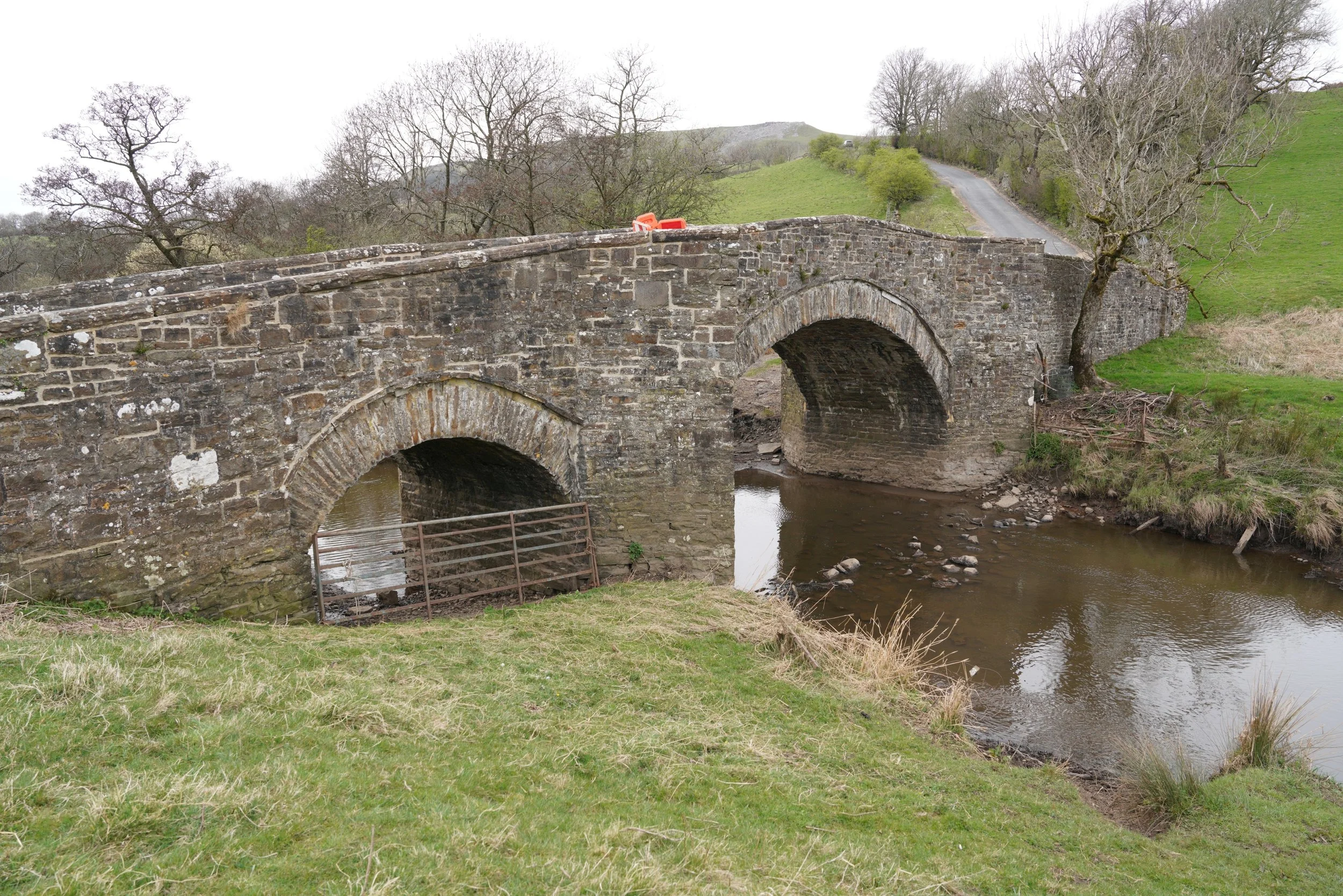
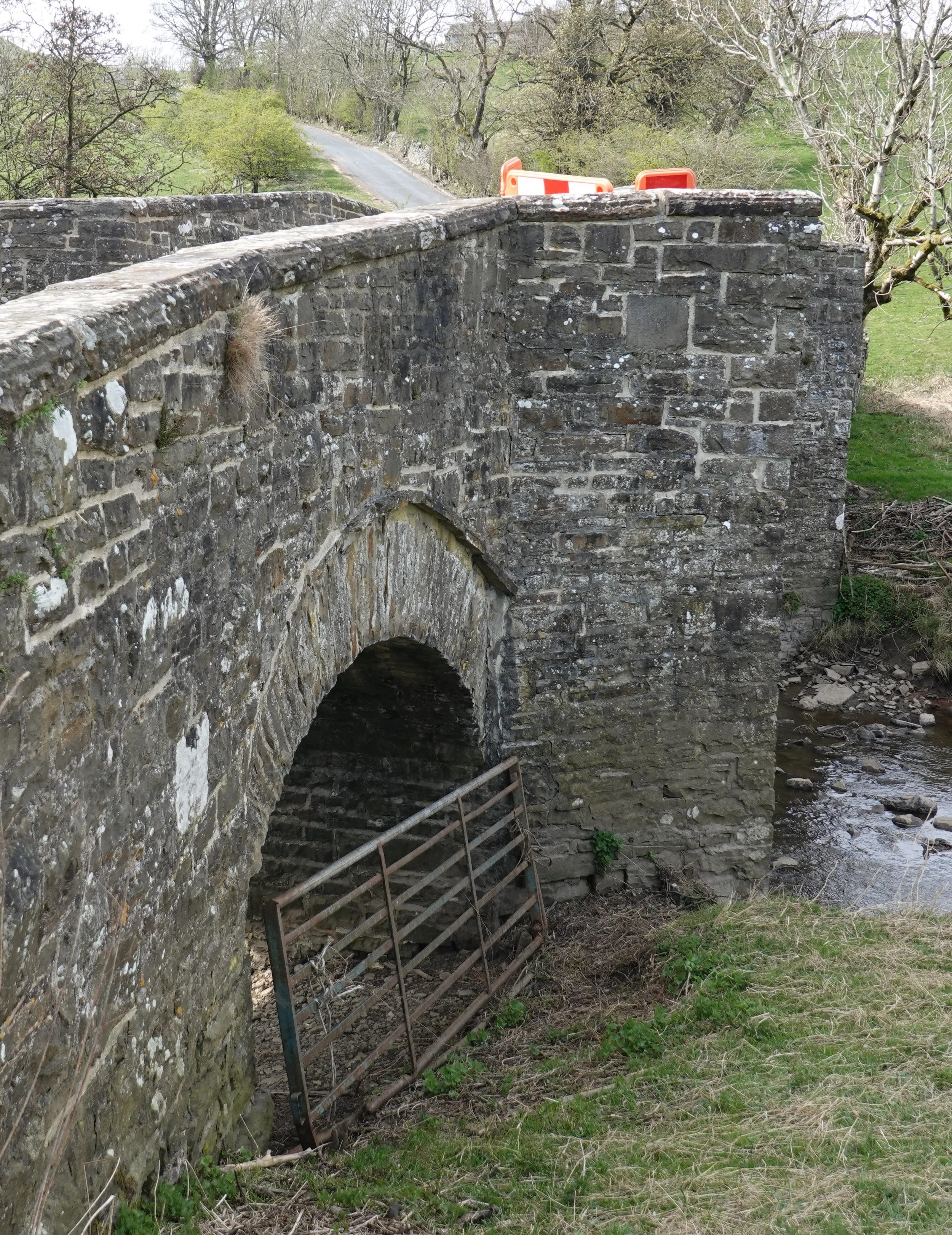
The bridge has two small flood spans to the sides and a larger central arch over the river. The road rises to a crest.
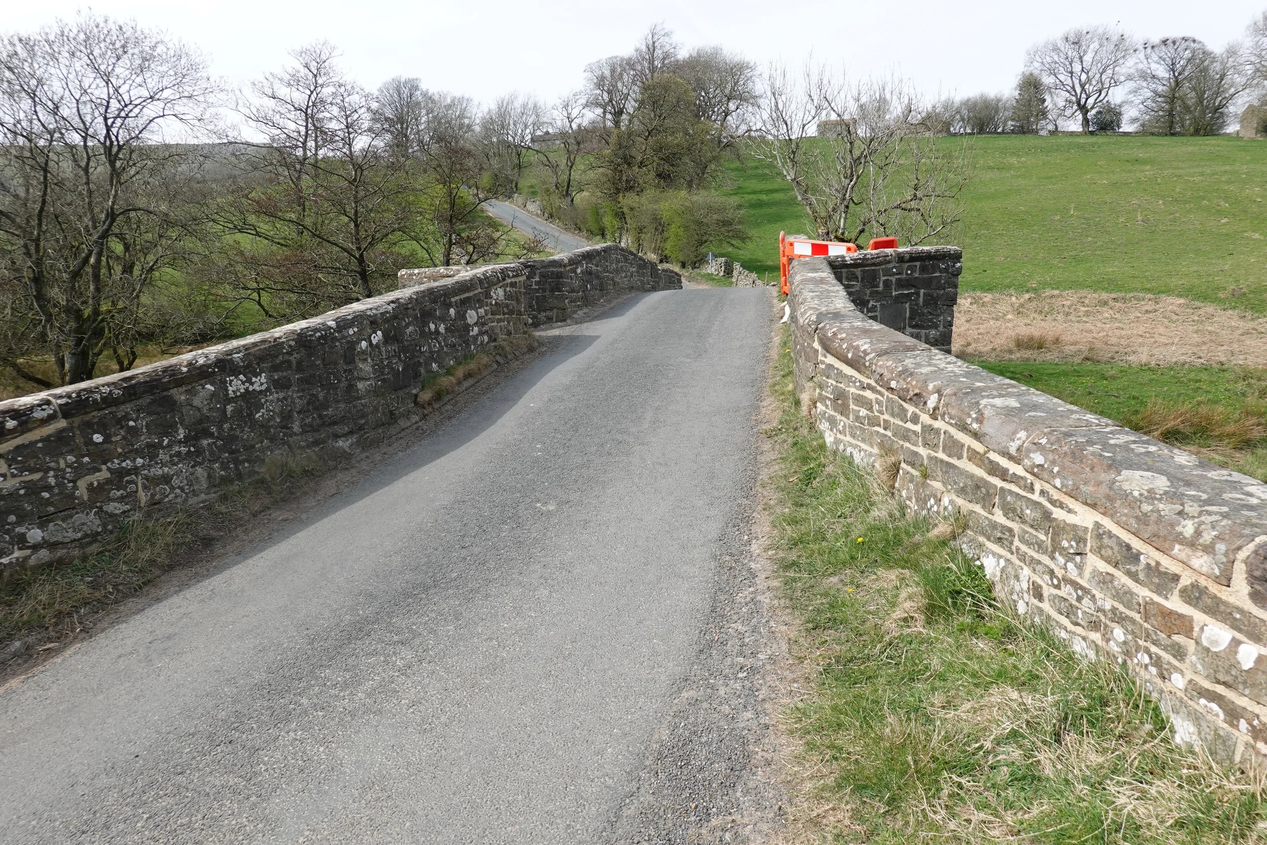
The approach from the north (in the distance, left) is downhill and turns sharply onto the bridge. There is a bend at the south end as well. The glimpse of orange barriers over the parapet is a harbinger of some sort of damage…
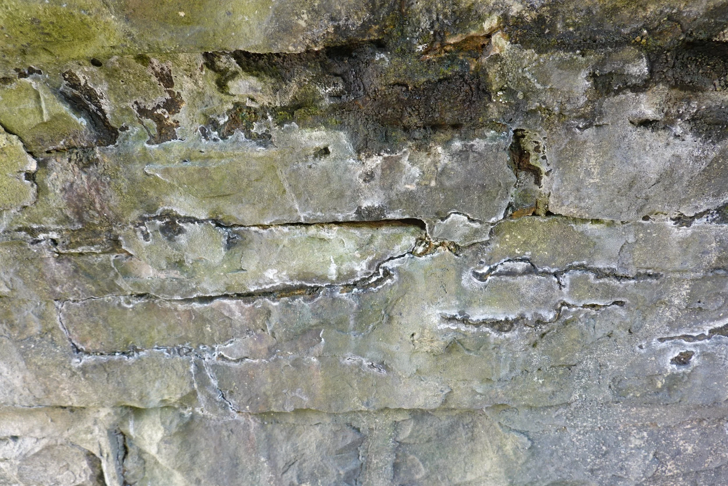
Looking along the elevation (right) the cutwater has a pronounced lean in the top half, and wide mortared joints suggest past displacement.
A closer look reveals more recent damage: cracks and displacement between the spandrel wall and the corbel over the ring; a further displacement in the spandrel wall, and a diagonal crack in the cutwater.
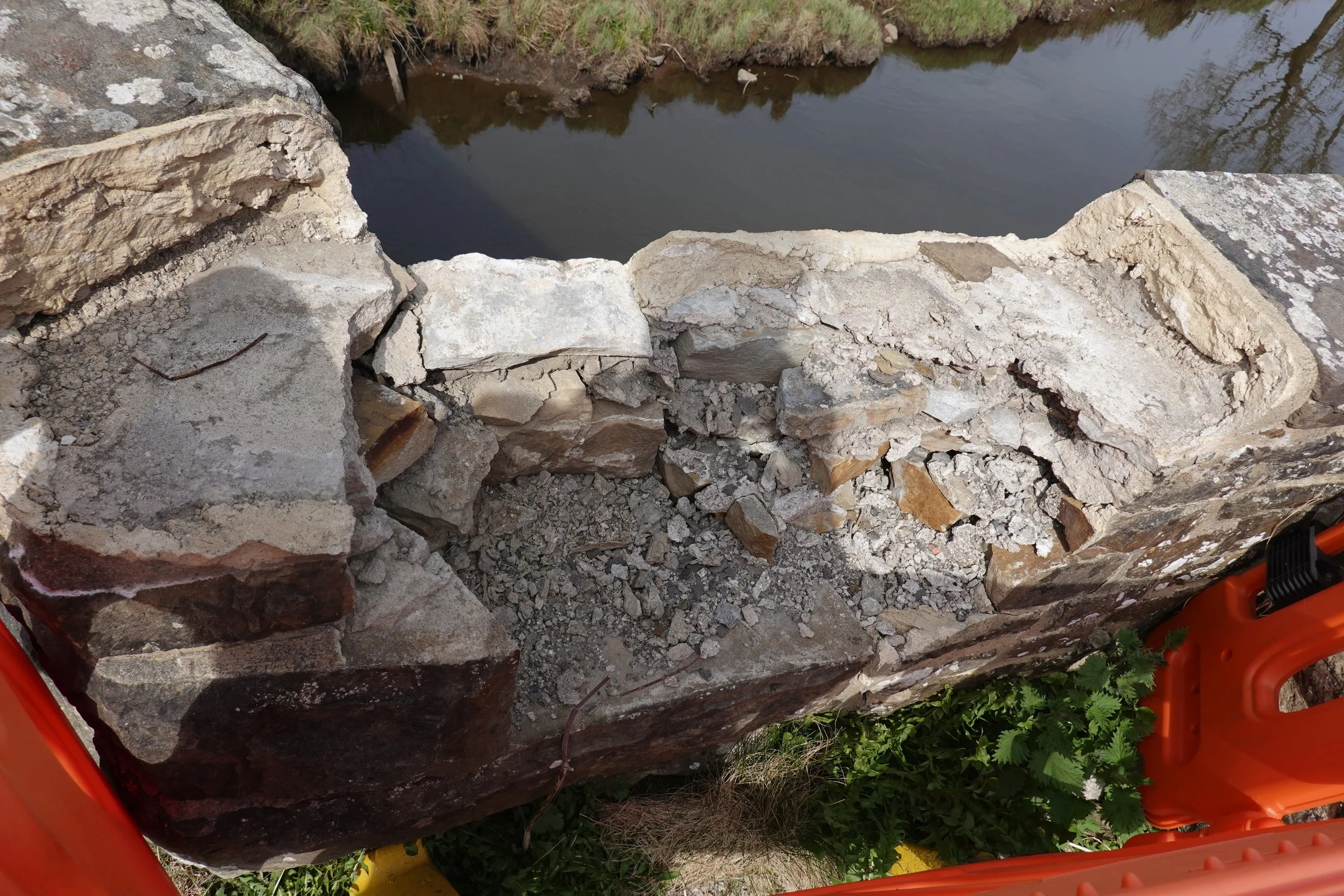
The barriers are there because a chunk of parapet was lost on the other side of the cutwater.
This seems most likely to be damaged caused by a vehicle travelling north.
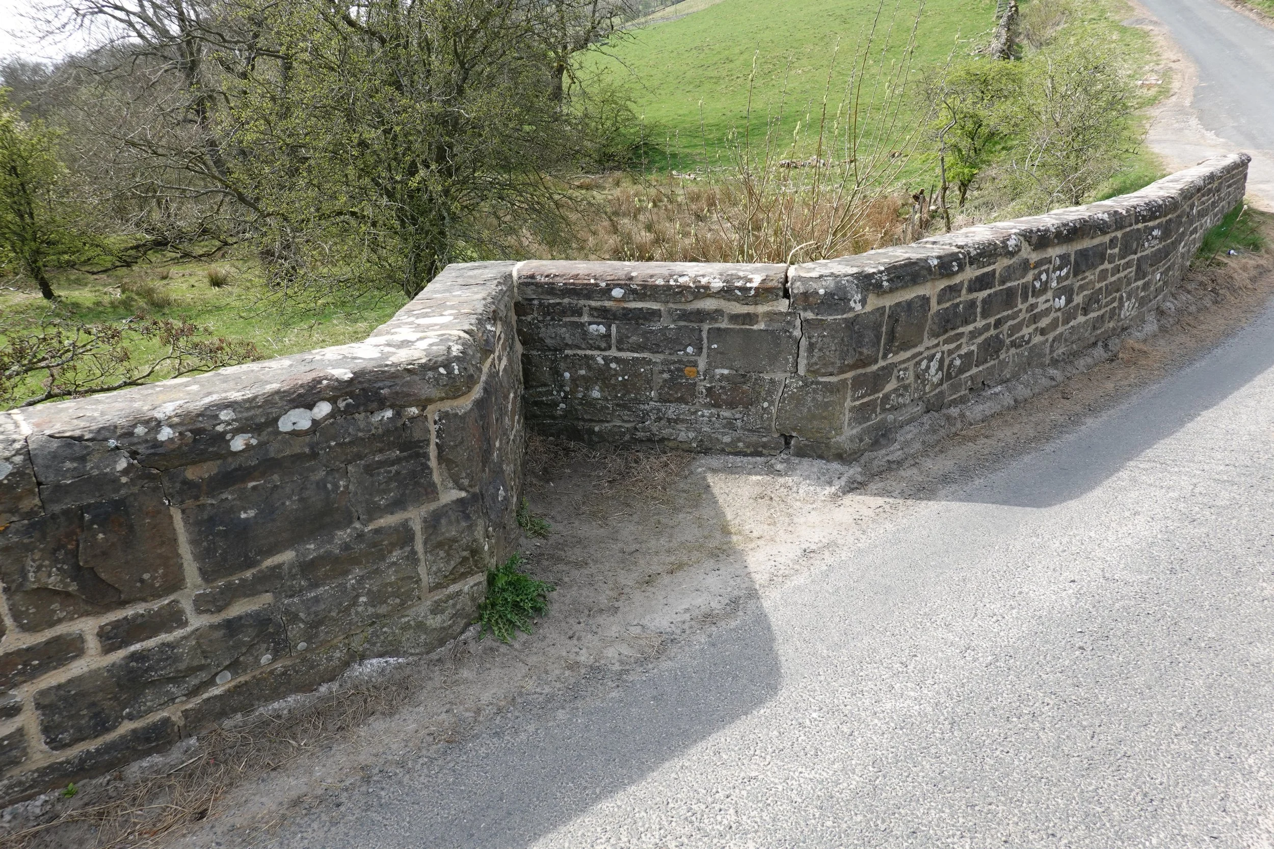
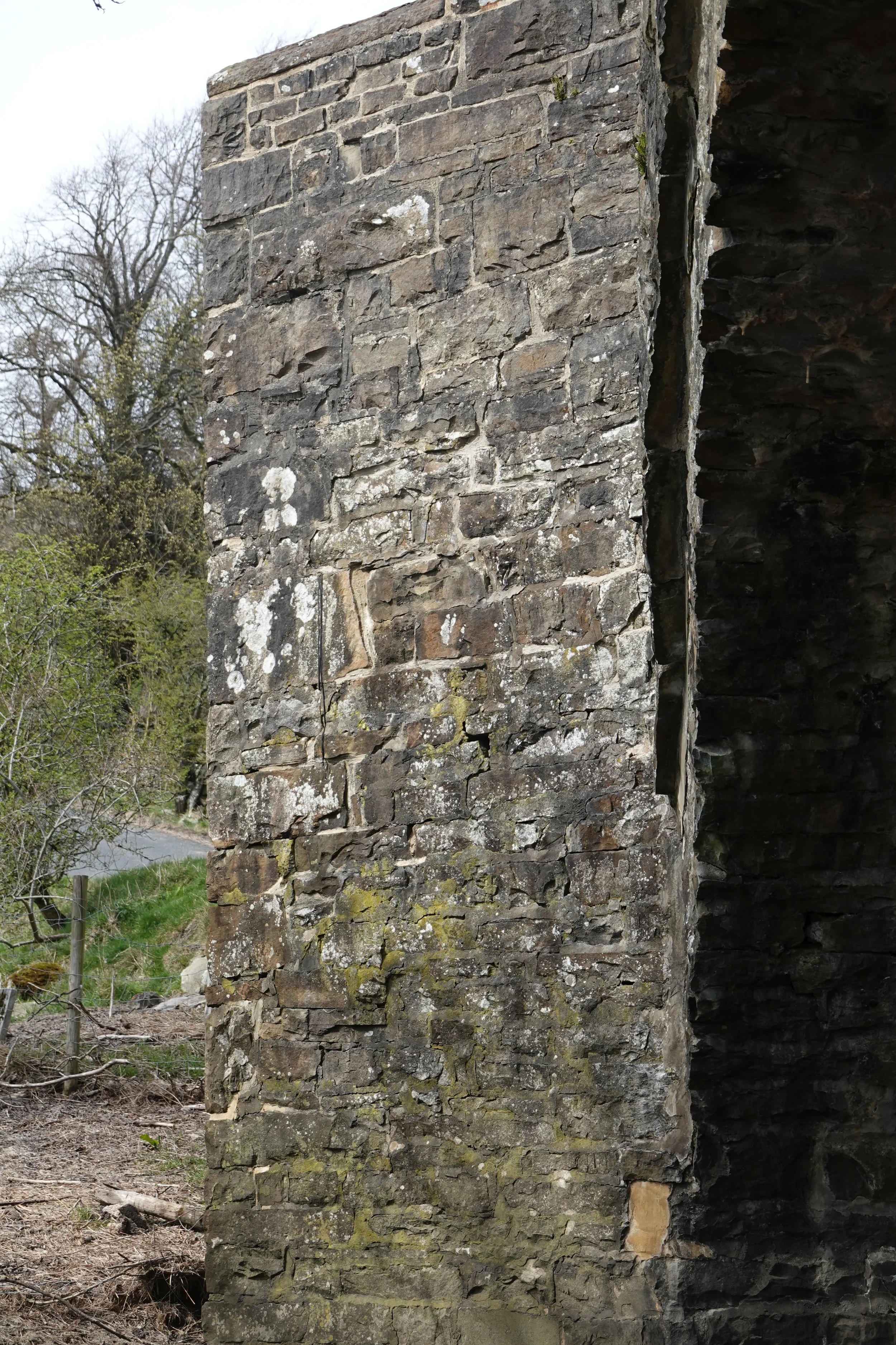
Downriver, north cutwater, on the inside of the curve so surely protected from most of the bad driving, yet there is still a crack (above, between the cutwater and parapet to the north).
On the south face (right), there is a clear diagonal crack running out to the nose at mid height.
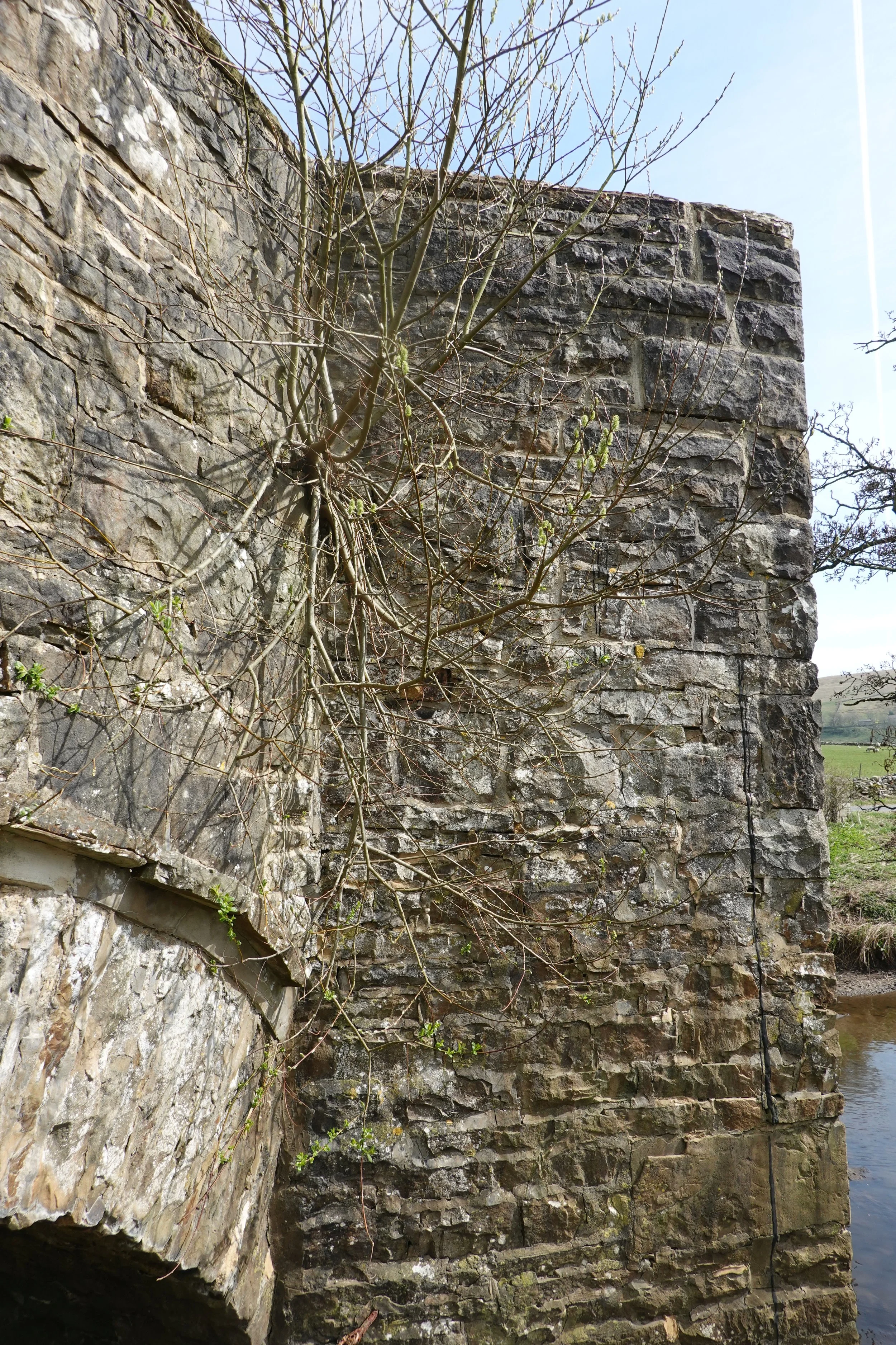
But looking from the north we find that other big killer of masonry: a well established tree, jacking the crack open.
Perhaps the crack was opened by impact and is being widened by the tree. Regardless, letting the tree grow this big has caused permanent damage and made impact damage even more likely.
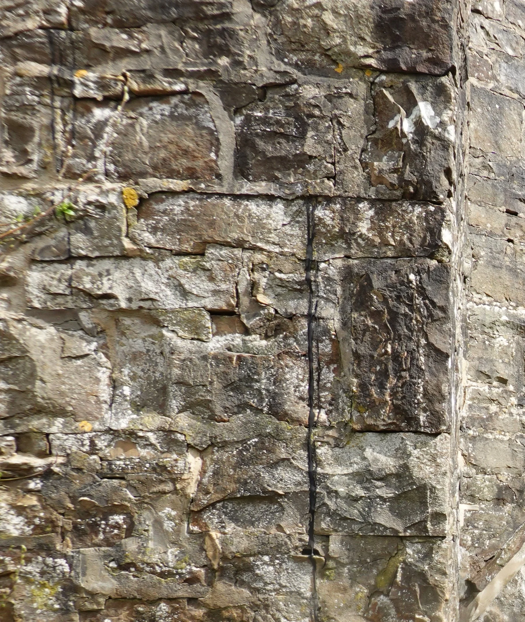
Notice the black line just in from the nose of the cutwater. The close-up (right) shows tar flowing from a line of displacement near road level. Too high to be related to waterproofing, this may be souvenir of the last road surfacing.
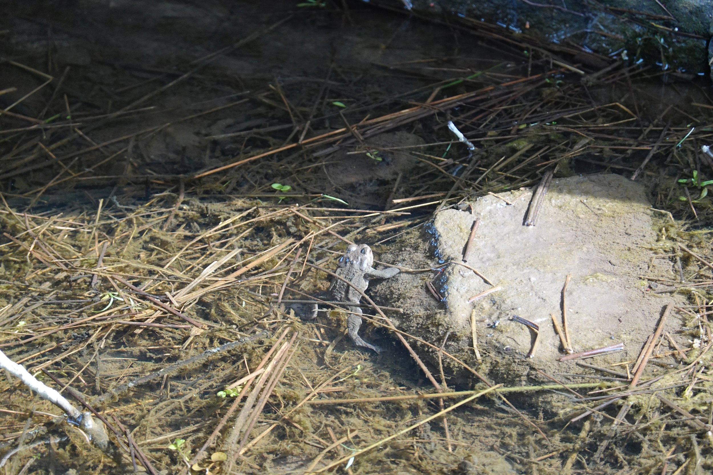
The north flood span has standing water, providing a perfect little breeding pond for toads.
No great insights there – just another bridge still doing its thing, despite careless driving and maintenance by parts misguided or omitted.